Wars · Guide
Gazetteer of the mapped places
The following entries identify the features actually used for the map markers. The Pleiades link provides the contributor record and its bibliography. Modern orientation is descriptive, not a statement that ancient and modern boundaries or coastlines coincide. The classification "precise" belongs to the Pleiades location record; it is not a new atlas judgment about the exact site of a battle.
Some labels have been shortened. Corinth uses a theater feature to orient the ancient city. Lactarius is a mountain feature, not Naples. The royal Dacian capital is distinguished from the Roman colony. Tigranocerta's representative point follows the selected catalog identification without resolving the history of that identification. Gazetteer entries can serve the wider text even if not selected for one of the twelve plates.
| Place / feature | Modern geographic orientation | Gazetteer precision | Plates |
|---|---|---|---|
| Acragas | 37.29°N, 13.59°E | precise | Text reference |
| Actium | 38.95°N, 20.77°E | precise | M08 |
| Alesia | 47.54°N, 4.50°E | precise | M05 |
| Alexandria | 31.20°N, 29.91°E | precise | M01, M10 |
| Amida | 37.91°N, 40.23°E | precise | M09 |
| Antioch on Orontes | 36.22°N, 36.18°E | precise | M01, M09, M12 |
| Aquae Sextiae | 43.53°N, 5.45°E | precise | M05 |
| Aquileia | 45.77°N, 13.37°E | precise | M07, M11 |
| Arelate | 43.68°N, 4.63°E | precise | M05, M11 |
| Argentorate | 48.58°N, 7.75°E | precise | M05 |
| Ariminum | 44.06°N, 12.56°E | precise | M02, M11 |
| Asculum | 42.86°N, 13.57°E | precise | M02 |
| Athenae | 37.97°N, 23.72°E | rough | M08 |
| Beneventum | 41.13°N, 14.78°E | precise | M02 |
| Bibracte | 46.93°N, 4.04°E | precise | M05 |
| Byzantium | 41.01°N, 28.97°E | precise | M01, M07, M08, M12 |
| Callinicum | 35.95°N, 39.06°E | precise | M09 |
| Camulodunum | 51.89°N, 0.90°E | precise | M06 |
| Cannae | 41.30°N, 16.15°E | precise | M02 |
| Capua | 41.09°N, 14.25°E | precise | M02 |
| Carrhae | 36.86°N, 39.03°E | precise | M09 |
| Carthago | 36.85°N, 10.32°E | precise | M01, M03, M11, M12 |
| Carthago Nova | 37.60°N, 0.99°W | precise | M03, M04, M11 |
| Castra Vetera | 51.64°N, 6.47°E | precise | M05 |
| Chaeronea | 38.49°N, 22.84°E | precise | M08 |
| Cirta | 36.37°N, 6.61°E | precise | M03 |
| Colonia Agrippina | 50.94°N, 6.96°E | precise | M05 |
| Corfinium | 42.12°N, 13.84°E | precise | M02 |
| Corinth (theater locator) | 37.91°N, 22.88°E | precise | M08 |
| Ctesiphon | 33.09°N, 44.58°E | precise | M01, M09 |
| Cynoscephalae | 39.25°N, 22.75°E | rough | M08 |
| Cyzicus | 40.39°N, 27.88°E | precise | M08 |
| Dara | 37.18°N, 40.95°E | precise | M09, M12 |
| Deva | 53.19°N, 2.89°W | precise | M06 |
| Drepana | 38.02°N, 12.52°E | precise | M03 |
| Durostorum | 44.12°N, 27.26°E | precise | M07 |
| Eburacum | 53.96°N, 1.08°W | precise | M06 |
| Edessa | 37.15°N, 38.79°E | precise | M09, M12 |
| Emerita | 38.92°N, 6.34°W | rough | M04 |
| Emporiae | 42.13°N, 3.11°E | precise | M03, M04 |
| Ephesus | 37.94°N, 27.34°E | precise | M08 |
| Gades | 36.53°N, 6.29°W | precise | M04 |
| Gergovia | 45.72°N, 3.12°E | precise | M05 |
| Heraclea | 40.22°N, 16.67°E | precise | M02 |
| Ilerda | 41.62°N, 0.63°E | precise | M04 |
| Ilipa | 37.52°N, 5.98°W | precise | M03, M04 |
| Jerusalem | 31.78°N, 35.23°E | precise | M10 |
| Lactarius mountain | 40.65°N, 14.51°E | precise | M12 |
| Lilybaeum | 37.80°N, 12.43°E | precise | M03 |
| Londinium | 51.51°N, 0.09°W | precise | M01, M06 |
| Lugdunum | 45.76°N, 4.82°E | precise | M01, M05, M11 |
| Luguvalium | 54.90°N, 2.94°W | precise | M06 |
| Magnesia ad Sipylum | 38.61°N, 27.43°E | precise | M08 |
| Marcianopolis | 43.23°N, 27.59°E | precise | M07 |
| Masada | 31.32°N, 35.35°E | precise | M10 |
| Messana | 38.19°N, 15.56°E | precise | M03 |
| Mogontiacum | 50.00°N, 8.27°E | precise | M05 |
| Mursa | 45.56°N, 18.68°E | precise | M07 |
| Naissus | 43.32°N, 21.89°E | precise | M07 |
| Nicomedia | 40.77°N, 29.92°E | precise | Text reference |
| Nisibis | 37.07°N, 41.22°E | precise | M09 |
| Numantia | 41.81°N, 2.44°W | precise | M04 |
| Oescus | 43.71°N, 24.47°E | precise | M07 |
| Orchomenus | 38.49°N, 22.97°E | precise | M08 |
| Osca | 42.14°N, 0.41°W | precise | M04 |
| Ostia | 41.75°N, 12.29°E | precise | Text reference |
| Pergamon | 39.13°N, 27.18°E | precise | M08 |
| Perusia | 43.11°N, 12.39°E | precise | M02 |
| Petra | 30.35°N, 35.38°E | precise | M10 |
| Pharsalus | 39.29°N, 22.39°E | precise | M08 |
| Phasis | 42.14°N, 41.69°E | precise | M09, M12 |
| Philippi | 41.03°N, 24.33°E | precise | M08 |
| Pydna | 40.40°N, 22.61°E | precise | M08 |
| Ravenna | 44.42°N, 12.20°E | precise | M11, M12 |
| Resaina | 36.83°N, 40.05°E | precise | M09 |
| Roma | 41.89°N, 12.49°E | rough | M01, M02, M03, M11, M12 |
| Rutupiae | 51.29°N, 1.33°E | precise | M06 |
| Saguntum | 39.68°N, 0.28°W | precise | M03, M04 |
| Salona | 43.54°N, 16.48°E | precise | M07, M11 |
| Sarmizegetusa Regia | 45.67°N, 23.32°E | precise | M07 |
| Place / feature | Modern geographic orientation | Gazetteer precision | Plates |
|---|---|---|---|
| Satala | 40.03°N, 39.60°E | precise | M09 |
| Sentinum | 43.43°N, 12.86°E | precise | M02 |
| Serdica | 42.72°N, 23.34°E | precise | M07 |
| Singidunum | 44.81°N, 20.46°E | precise | M07 |
| Sirmium | 44.97°N, 19.61°E | precise | M01, M07, M11 |
| Sufetula | 35.24°N, 9.12°E | precise | Text reference |
| Syracusae | 37.07°N, 15.28°E | rough | M03, M12 |
| Tadinae | 43.23°N, 12.79°E | precise | M12 |
| Tarentum | 40.47°N, 17.23°E | rough | M02 |
| Tarraco | 41.12°N, 1.26°E | precise | M04 |
| Thapsus | 35.62°N, 11.04°E | precise | Text reference |
| Thessalonica | 40.63°N, 22.95°E | precise | M08 |
| Tigranocerta | 37.98°N, 41.38°E | precise | M09 |
| Trapezus | 41.00°N, 39.72°E | precise | M09 |
| Treveri capital | 49.75°N, 6.64°E | rough | M05 |
| Utica | 37.06°N, 10.06°E | precise | M03 |
| Veii | 42.02°N, 12.39°E | precise | M02 |
| Vercellae | 45.32°N, 8.43°E | precise | Text reference |
| Verulamium | 51.75°N, 0.36°W | precise | M06 |
| Viminacium | 44.73°N, 21.19°E | precise | M07 |
| Vindolanda | 54.99°N, 2.36°W | precise | M06 |
| Zama Regia | 36.11°N, 9.29°E | precise | Text reference |
Places that must remain uncertain or distinct
| Name or problem | Archival treatment |
|---|---|
| Hannibal's Alpine crossing | A secure broad transit from Iberia to Italy does not establish one pass. No exact route is drawn. |
| Caudine Forks | Keep the Caudine valley setting distinct from a fully identified formation-by-formation surrender site. |
| Asculum | The Social War's Asculum in Picenum is not automatically the site of Pyrrhus' Asculum in Apulia. The mapped marker is the Picene city. |
| Zama | Zama Regia is a place record, not confirmation of the battlefield of 202 BC. The modern battlefield identification remains debated. |
| Baecula | Its battlefield identification requires archaeological bibliography; a named campaign event is not sufficient to fix the site. |
| Magnesia | The Seleucid battle concerns the Sipylum region, not Magnesia on the Maeander or Thessalian Magnesia. |
| Raudian Plain / Vercellae | The city is a locator. The precise battle site and its relationship to the ancient name remain debated. |
| Munda | A traditional place name and a gazetteer candidate do not settle the battlefield controversy. No Munda point is used on the plates. |
| Teutoburg | Kalkriese is central to the evidence; the complete course and extent of the Varus disaster are not a single exact point. |
| Idistaviso and the Angrivarian Wall | Preserve as textual battlefield names with debated identification. |
| Boudica's final battle | Unlocated. A Wroxeter filename in the map collection is not proof. |
| Mons Graupius | Unlocated with confidence. No precise battle marker is supplied. |
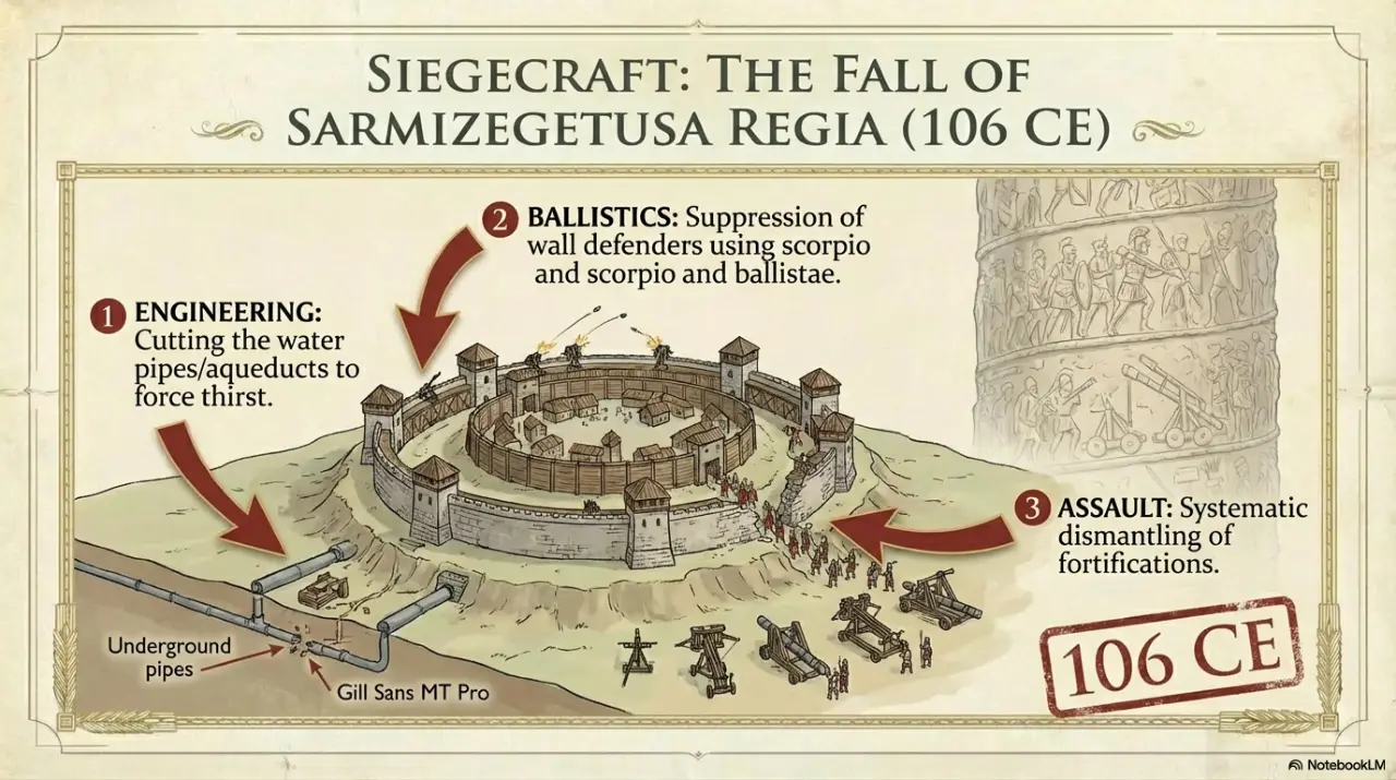
| Sarmizegetusa | Royal center and Roman colony are separate places. M07 labels the royal center. |
| Tigranocerta | The selected Pleiades identification provides orientation; the site's scholarly identification history remains relevant. |
| Frigidus | A river and regional setting can be identified more confidently than the complete battlefield deployment. |
| Catalaunian Plains | Keep the traditional Champagne setting separate from a verified exact battlefield. |
| Petra | Arabian Petra in M10 is distinct from Petra in Lazica in the sixth-century war. The Lazic fortress is not plotted at the Arabian coordinate. |
| Iberia | Roman Spain and Caucasian Iberia are entirely different theaters. W087 concerns the Caucasus. |
| Ad Decimum and Tricamarum | Names in a battle narrative do not authorize selecting a homonymous place elsewhere. The maps use Carthage as the regional reference. |
| Taginae / Busta Gallorum | Tadinae helps orient the region; it does not certify every proposed battlefield identification. |