Provinces · Anatolia and the Aegean
RP-36 Cyprus
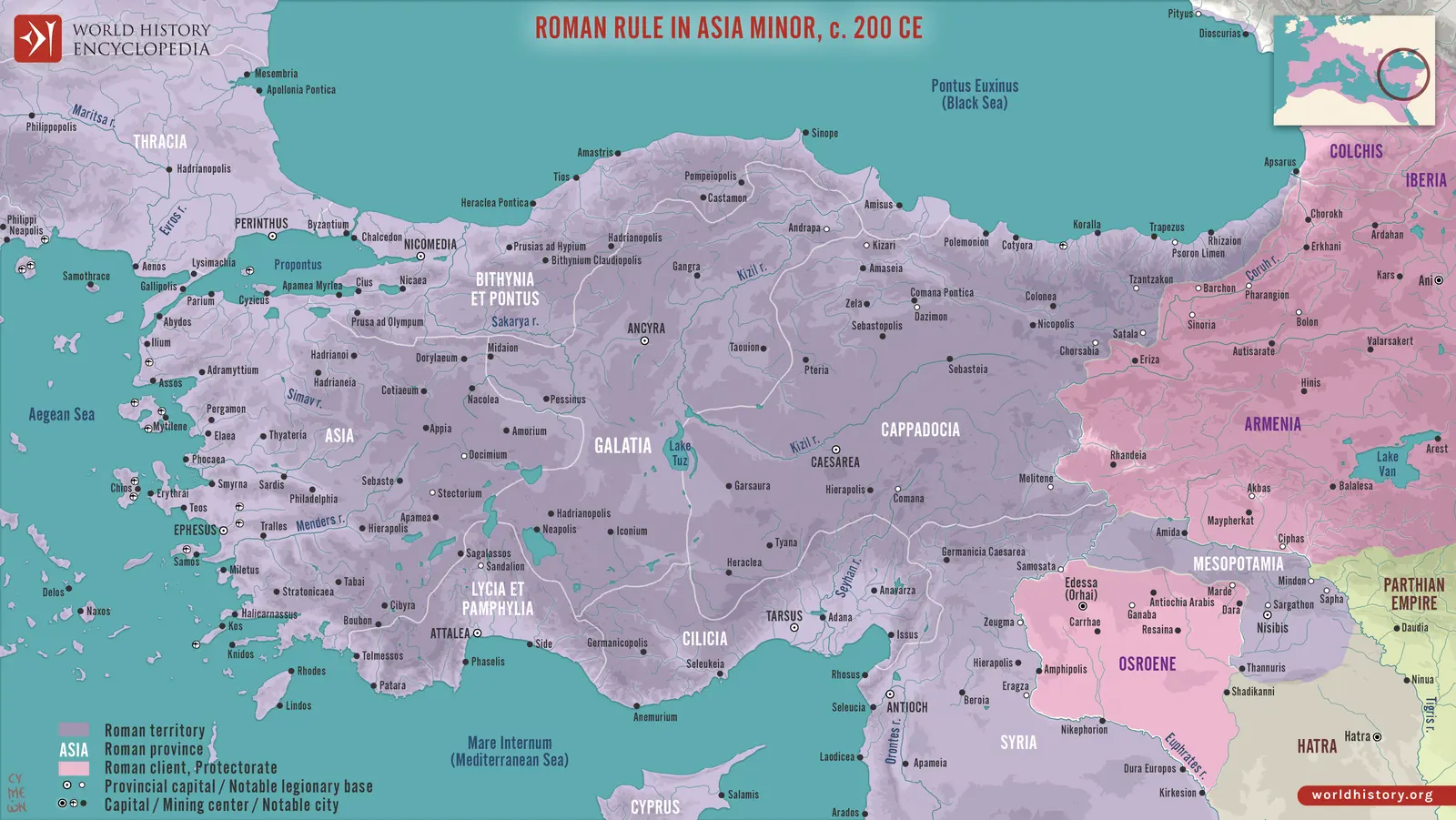
An island at the meeting of eastern sea routes
Cyprus’s position made it accessible from Anatolia, the Levant, and Egypt. Its central plain, mountain districts, productive valleys, and harbours supported different forms of settlement and livelihood. Greek civic traditions and older Cypriot and Phoenician inheritances remained visible long after Roman annexation.
Copper gave the island a famous mineral association, but agriculture, timber, ship-related production, crafts, and maritime services were also important. Different ports faced different trade routes. Paphos’s prominence did not make Salamis or the eastern and southern cities minor satellites.
Annexation and the provincial state
The annexation of 58 BCE removed a Ptolemaic ruler through a Roman political decision. It brought royal wealth and territory under Roman control without requiring a major conquest of the whole island. Cato’s role gave the episode a prominent place in late Republican politics. Subsequent civil-war arrangements linked Cyprus to changing relations between Roman leaders and the Ptolemaic monarchy.
Under the emperors, the proconsul’s administration operated through established cities and local elites. Courts, fiscal obligations, public order, and the management of community relations were central concerns. Cities retained different privileges and traditions within a common island province.
Paphos, Salamis, and civic identity
Paphos combined administrative precedence with the great sanctuary of Aphrodite in its wider territory. Salamis was a major eastern city with strong commercial and cultural connections. Citium, Amathus, Curium, and other centres maintained their own histories and productive hinterlands. Civic competition and benefaction supported public buildings, festivals, and local prestige.
Earthquakes repeatedly altered the built environment. Reconstruction depended on resources, patronage, and political support. The later refoundation of Salamis as Constantia increased its role in the Christian island’s institutional geography without erasing the earlier importance of Paphos.
Revolt, repression, and religion
The diaspora revolt of 115–117 caused severe disruption in Cyprus as in parts of the wider eastern Mediterranean. Ancient descriptions of killing and destruction reflect the catastrophe but cannot be converted directly into reliable population totals. Repression altered the position of Jewish communities and became part of the island’s later historical memory.
Traditional cults, imperial observance, Jewish presence, and early Christianity occupied overlapping urban environments before Christian dominance. The island’s later churches, bishops, and saints’ traditions connected it to the Levant and the broader eastern church. Its claim to ecclesiastical autonomy developed through religious and political disputes distinct from its civil provincial status.
Late provincial continuity
Cyprus belonged administratively to Oriens rather than Asiana, despite its proximity to southern Anatolia. That placement reflected eastern governmental relationships across the sea. Shipping, food production, and urban institutions kept the island important within the eastern empire.
The seventh-century Arab raids and subsequent arrangements created a new phase of Cypriot history, beyond the straightforward Roman provincial structure. Control of the surrounding sea became increasingly important to security. Cyprus’s long trajectory shows how an island could maintain a recognizable identity while its principal city, religious hierarchy, and relationship to larger powers changed repeatedly.
Settlement geography
| Ancient place | Modern location |
|---|---|
| Paphos | Paphos, Cyprus |
| Salamis | Near Famagusta, Cyprus |
| Curium | Kourion, Cyprus |
| Citium | Larnaca, Cyprus |