Provinces · The later eastern provinces
LE-06 Creta
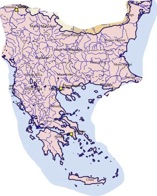
The island belonged to the Macedonian diocesan sphere rather than the Egyptian grouping assigned to the Libyan provinces. Its ports, agricultural plains, mountain districts, towns, and Christian communities retained a recognizable maritime coherence. Gortyn’s civil and ecclesiastical importance continued, while other cities served different coasts and hinterlands.
Crete’s strategic value came from its position among southern Greece, Anatolia, Cyrenaica, and Egypt. Changes in eastern Mediterranean warfare later increased the importance of naval security. The separate province’s history should not be merged with Cyrenaica’s Arab-conquest chronology merely because the two had once shared a Roman governor.