Provinces · The later eastern provinces
LE-05 Epirus Nova
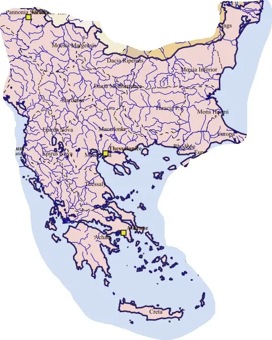
Dyrrachium’s port and its position at the western end of the Via Egnatia gave the province a major strategic function. Sea crossings from Italy continued overland towards Macedonia and the eastern Balkans. Provincial communities supplied travellers, officials, armies, and markets while maintaining their own farming and urban economies.
The province contained varied local histories rather than a population created by the new Epirote label. Bishoprics, coastal towns, and inland routes developed within this framework. Later warfare and settlement weakened control in some districts, while Dyrrachium remained a valuable imperial gateway. Its history differs from Nicopolis-centred Epirus Vetus despite the paired names.