Provinces · The later eastern provinces
LE-25 Insulae
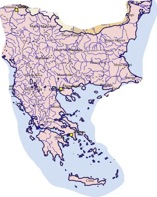
The province depended upon maritime communication among islands with distinct civic histories. Harbours, agriculture, local crafts, shipping, and services to travellers linked these communities to Anatolia, Greece, and the wider Mediterranean. Rhodes’s earlier naval and educational prestige continued within a different political-administrative framework.
An island province required coordination across the sea rather than a continuous land territory. Christian bishoprics and late imperial offices developed through existing cities. Naval insecurity and changing eastern Mediterranean power later affected the islands differently. The name Insulae must be qualified by this eastern Aegean setting, since the empire contained many other island jurisdictions.