Provinces · The later eastern provinces
LE-11 Dardania
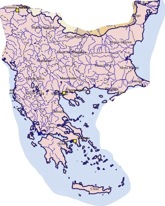
Dardania’s valleys, mineral resources, farming communities, and roads connected the Danubian and Macedonian regions. Scupi’s civic and episcopal institutions gave it prominence, while other settlements supported local production and transit. Its provincial identity gave the interior a separate civil government rather than leaving it subordinate to a distant river-frontier centre.
Earthquake damage, imperial rebuilding, and Justinian’s regional projects altered the sixth-century urban hierarchy. The relationship between Scupi and Justiniana Prima belongs to this broader transformation and should not be simplified into a universally settled direct replacement. Later military and settlement changes reduced imperial control while regional communities continued.