Provinces · The later eastern provinces
LE-16 Rhodope
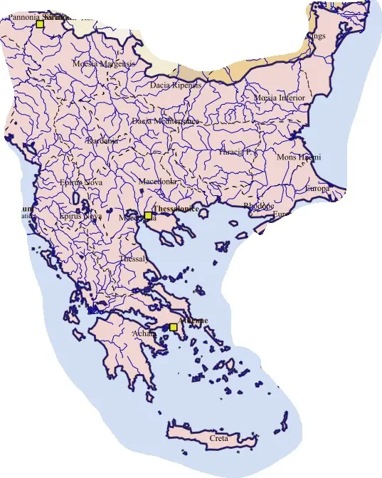
The province joined difficult uplands with Aegean-facing communications. Farming in suitable districts, livestock, woodland resources, local markets, and coastal exchange supported its communities. The relationship between mountain settlements and ports differed from the broad agricultural basins farther north.
Christian bishoprics developed through established towns, while government depended on maintaining routes and managing local obligations. Late warfare and changing settlement affected different parts of the province unevenly. Its historical identity should therefore be understood through both the mountain landscape and maritime connections, not as an empty buffer between better-known Thracian provinces.